North Carolina / Terrain & drainage
Checking what the terrain can support
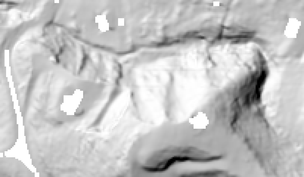
A reconstructed ground surface made it possible to compare a reported raster streak against independently processed LiDAR. The streak was absent in the comparison hillshade; that narrowed the diagnosis without claiming to identify the original processing fault.
Resolution sensitivity mattered: missing cells within the inspected building footprint rose from 38.6% at 3-foot cells to 77.1% at 1-foot cells and 87.5% at half-foot cells, with search radii reduced alongside cell size. A finer grid could not recover ground returns that were not there.
The related site-assessment workflow adds slope, depression storage and D8 contributing-area screening. Those are terrain diagnostics. Rainfall, infiltration, discharge and calibrated flood depth are outside that model.
Archived September 2026 diagnostics. Black areas in the hillshade retain missing ground data. The related USGS terrain source is from the 2018 NC Phase 5 survey and predates Hurricane Helene; this does not establish the acquisition date of the separately supplied LAS.